
MOUNT HANANG
Mount Hanang is the third highest mountain in Tanzania after Mount Kilimanjaro and Meru with an elevation of 3,417m/11,210ft above Sea Level. The mountain is in Mount Hanang Nature Forest Reserve (MHNFR) of 5,871 hectares, while the border length is 35.676 km which is the central Government Nature Reserve of Tanzania. The nature reserve is situated in the Hanang District in Manyara region, about 4 kilometers North of Katesh Township, the administrative centre of Hanang District and about 240 km from Arusha City.
The reserve has steep slopes with declining vegetation as you go up. On the western side most part is occupied by rock in steep slopes. The forest is continuously intercepted by ridges and valley on the Western side and that the forest is found in valleys while on South and Eastern side ridge and valleys are covered by forest. The MHNFR is the major source of water in the Hanang District with important rivers and streams. Soils are Dark to grey brown and Reddish brown to orange red. The reserve has oceanic rainfall with continental temperatures.
The reserve is comparatively rich in vegetation cover and species due to its wide altitudinal range and rainfall. The vegetation present is montane forest in west Southern and Northern slopes and Dry Montane forest on the Western slopes between 1,980 – 2,780 m, Grassland and Bush land between 2,100 – 2,700 m. Thicket occurs at the edge of the reserve and Moorland/Heath/upland occurs above 2,700m.
The animals present are klipspringer, vervet monkeys, and bush pigs, olive baboons, spotted hyena, leopards and a variety of snakes, birds and insects.
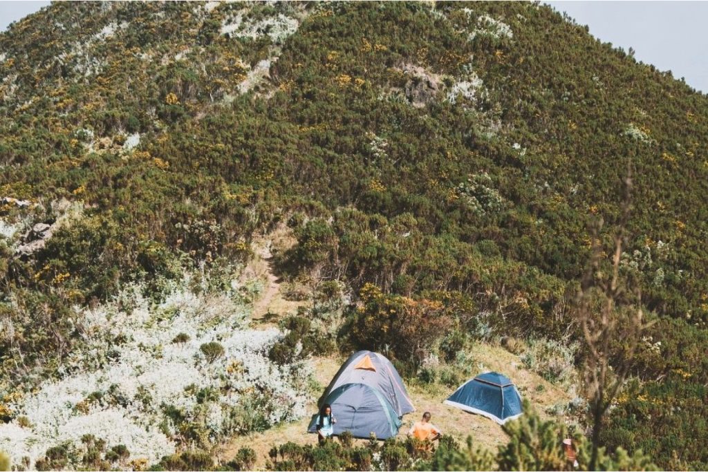
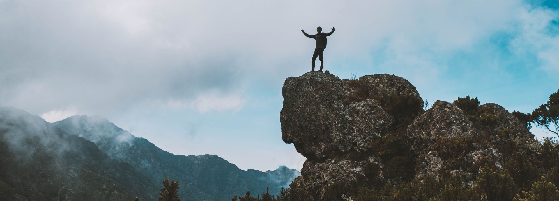
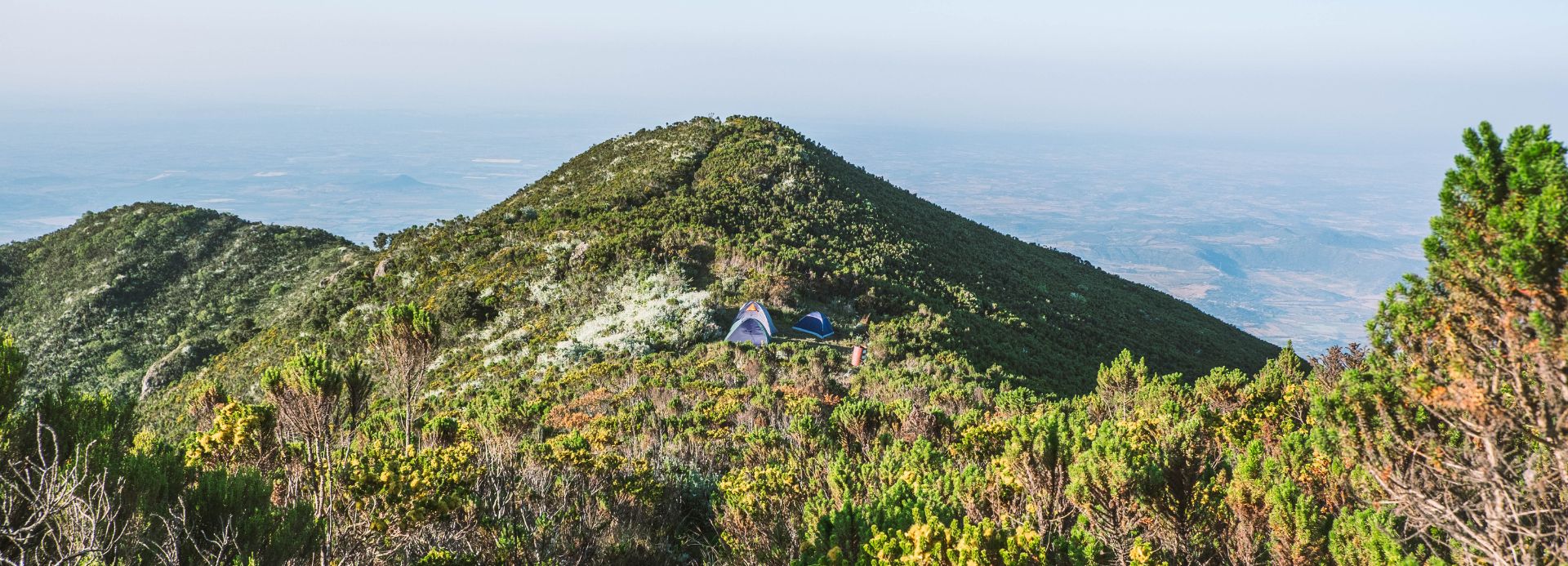
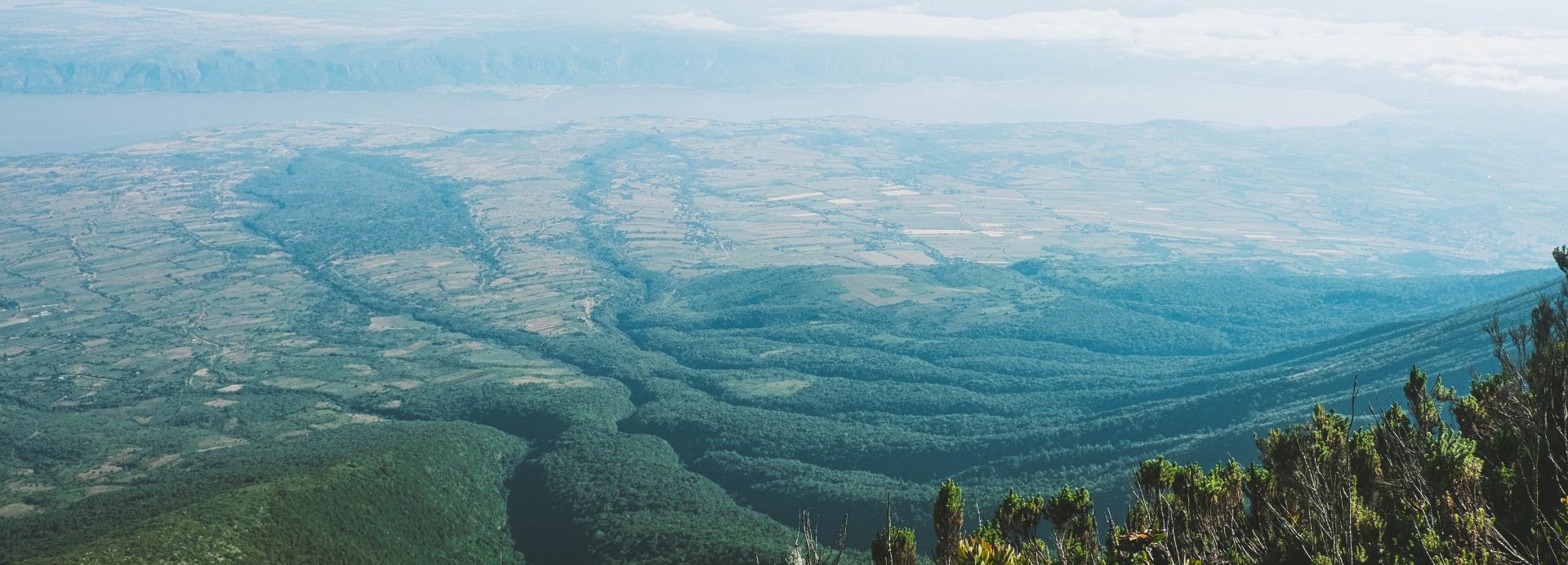
The reserve is used as an important worshiping area for Barbaig and Iraqw tribes the natives of Hanang District. Big ficus trees of thorning species are normally used for the purpose. Three summits of Mt. Hanang, the highest having an altitude of 3,676 m ASL which forms special sites where a local scenery of the Hanang District can be viewed.
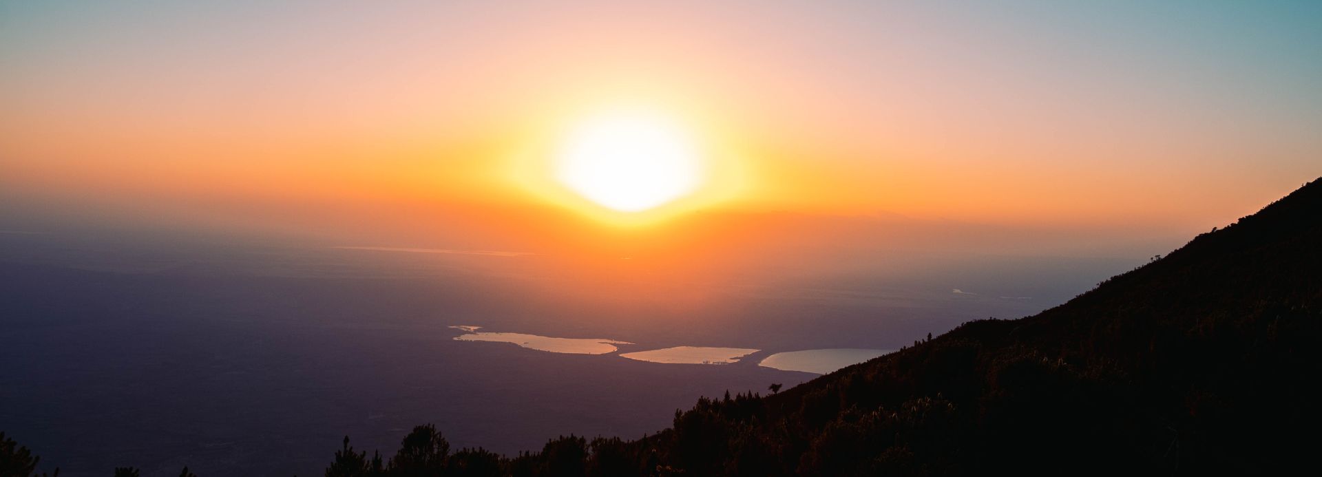
Also Soda lakes of Balang’dalalu and Gendabi, underground water of Lake Basotugang, Acacia woodland and 28,000 ha of wheat complex are clearly seen. Minjingu phosphate industry and Makuyuni trade centre along the Arusha to Babati road are among spectacular sites seen from the top of the summit. Also Mount Hanang Forest Nature Reserve is nestled right close to the Great Rift Valley, which is a major big game viewing and photographic tourism destination.