Mount Meru is located in northern Tanzania, northeast of the town of Arusha. It is among the volcanic mountains that have multiple climatic zones. The mountain’s size is roughly 552 sq km or 212 sq miles. From Arusha town, the distance is approximately 45 minutes’ drive time, and 60 km from Kilimanjaro International Airport. The mountain is within Arusha National Park. You can tour the forests, lakes, and the famous Ngurdoto Crater, which can be visited over the course of a half-day excursion or as part of your extended northern safari tour.
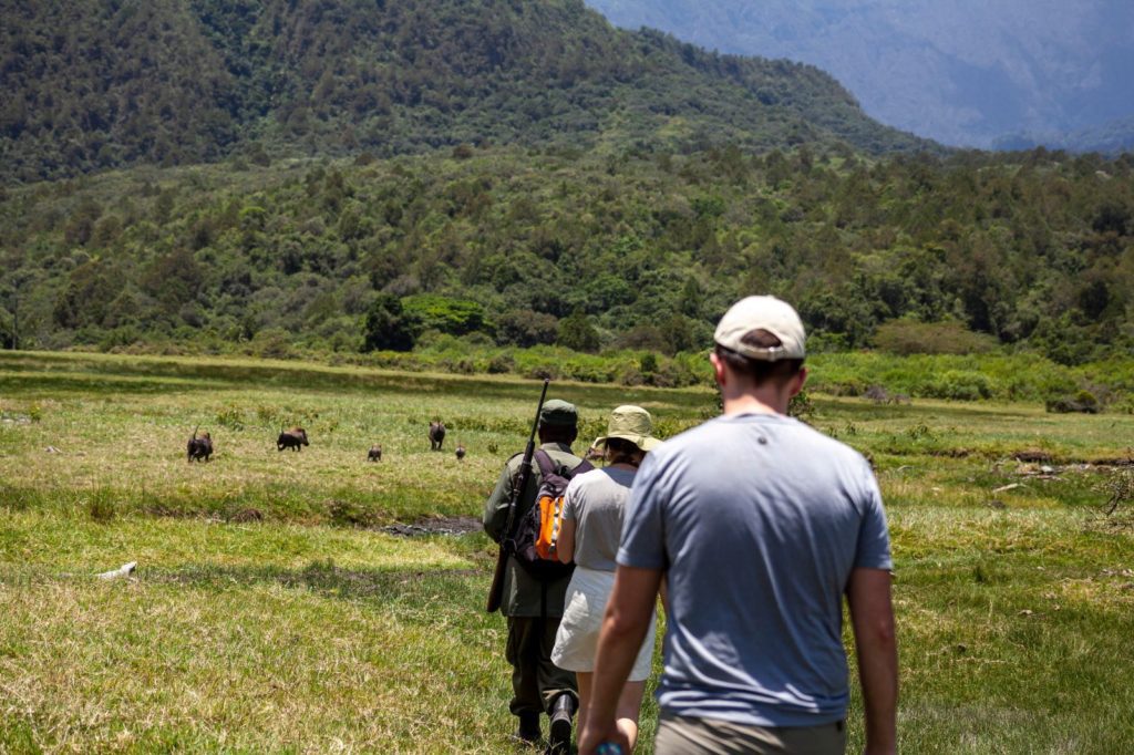
Because Mount Meru’s location is inside the boundaries of Arusha National Park, hikers are required to be accompanied by an armed ranger. Depending on the climber’s fitness, it can take 3-4 days to ascend and descend Mount Meru.
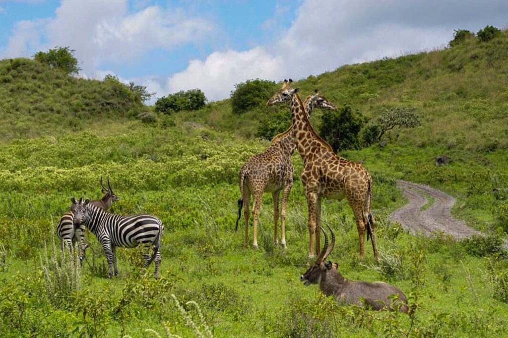
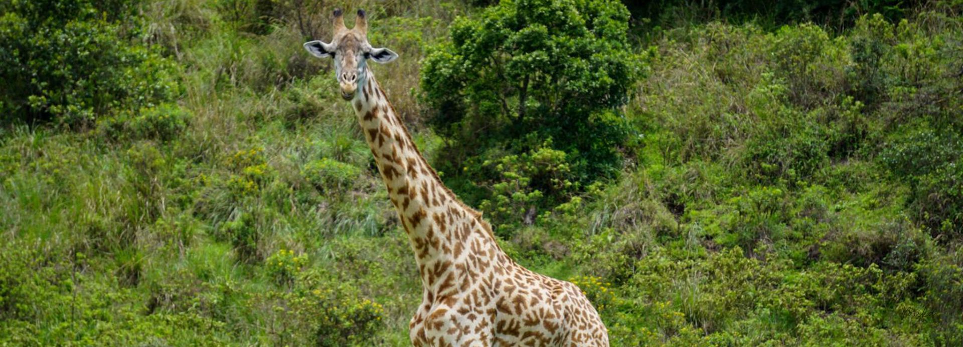
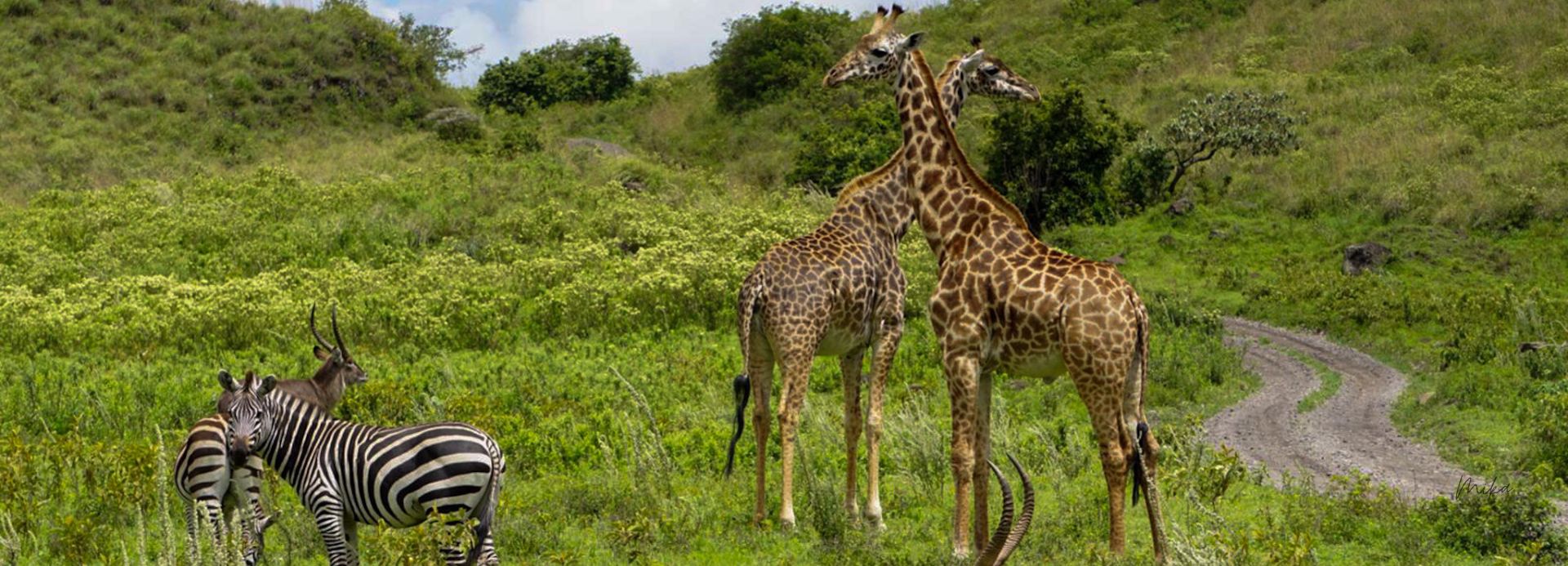
On the lower slopes, you’re more likely to see animals like elephants, buffalo, giraffes, zebras, etc. As hikers go on with their ascent, the trail follows the north rim of the volcano’s crater. Hikers get to sleep in designated huts which are present along the trail. Upon reaching the summit, trekkers will witness the spectacular views of Mt. Kilimanjaro and Mt. Meru Crater.